The story so far: a stone hut on the Continental Divide, the climbers who built and used it, and the 1930 first ascents in the peaks around Fortress Mountain. Built from the Parks Canada RFP package and public sources. Items marked to request are archives we will look for next.
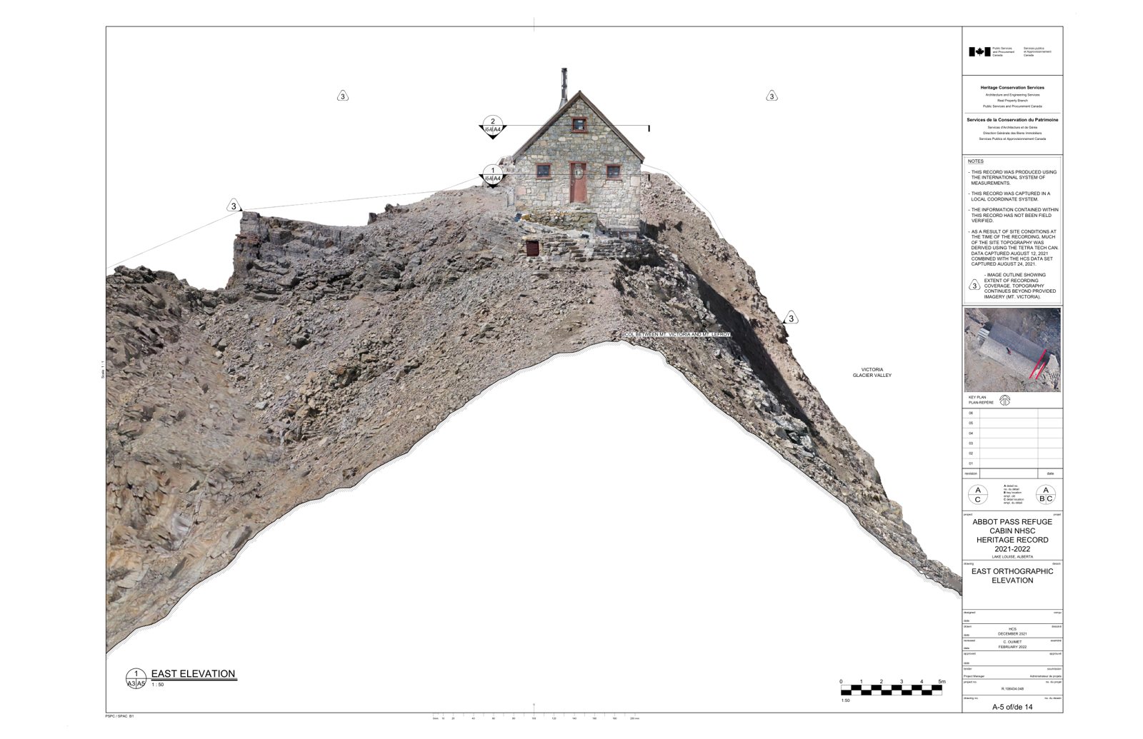
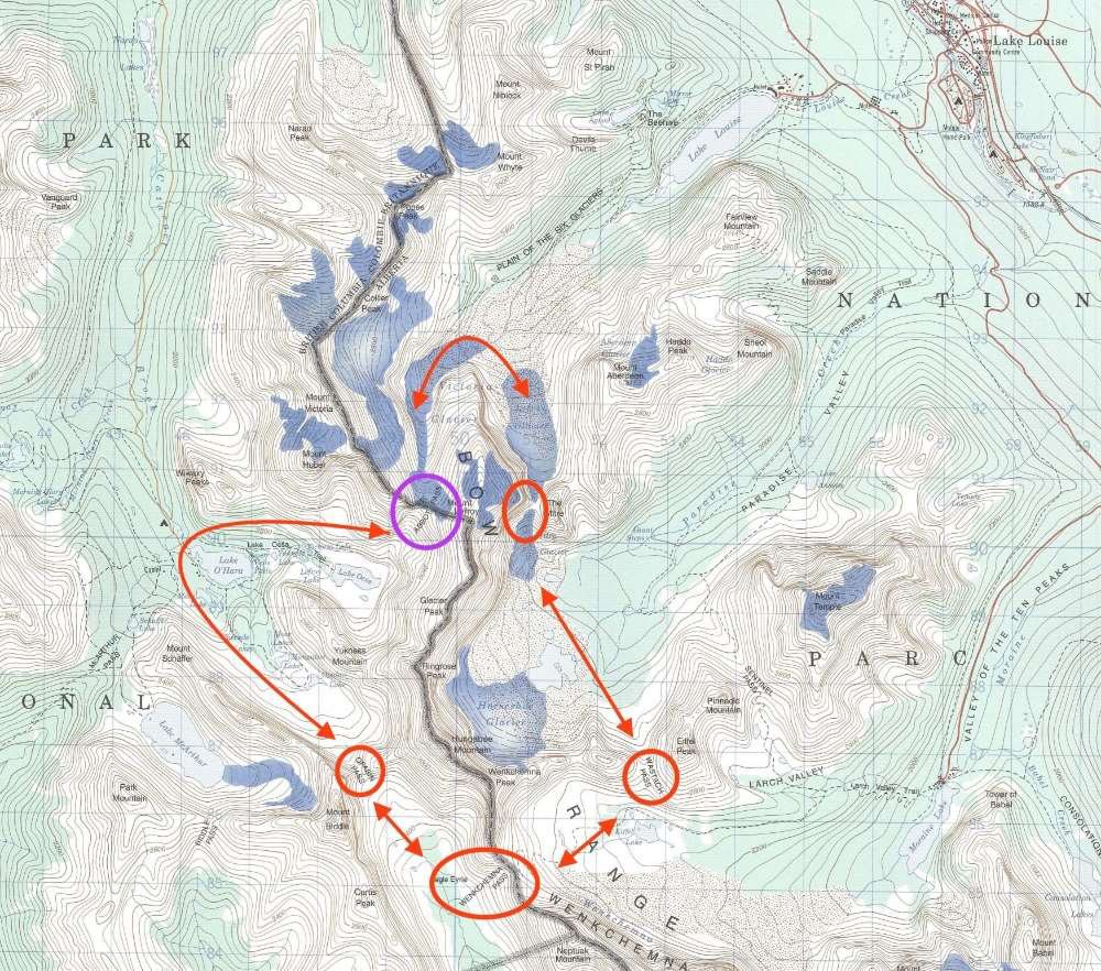
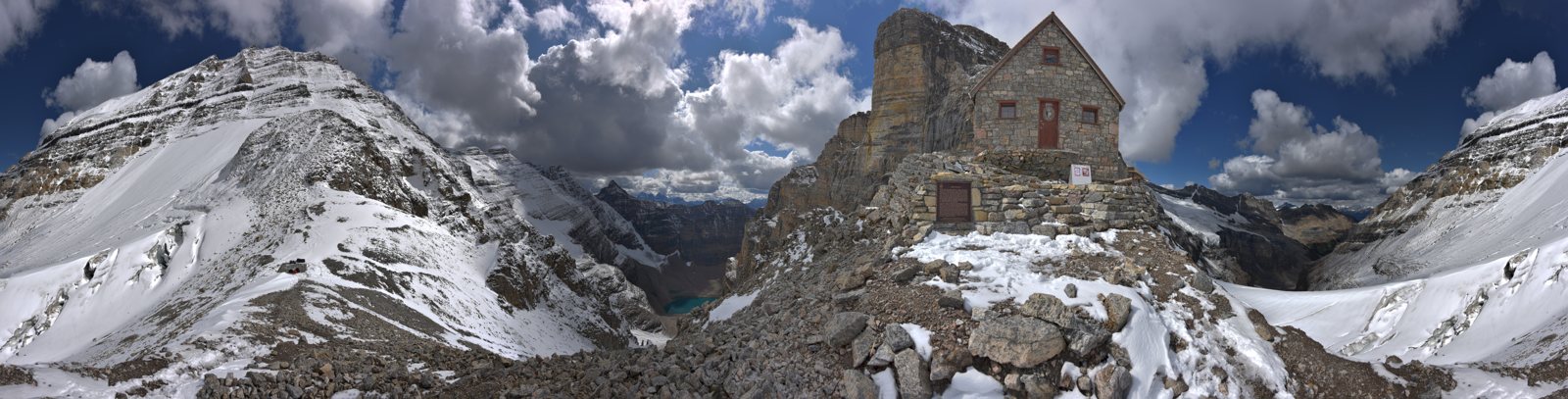
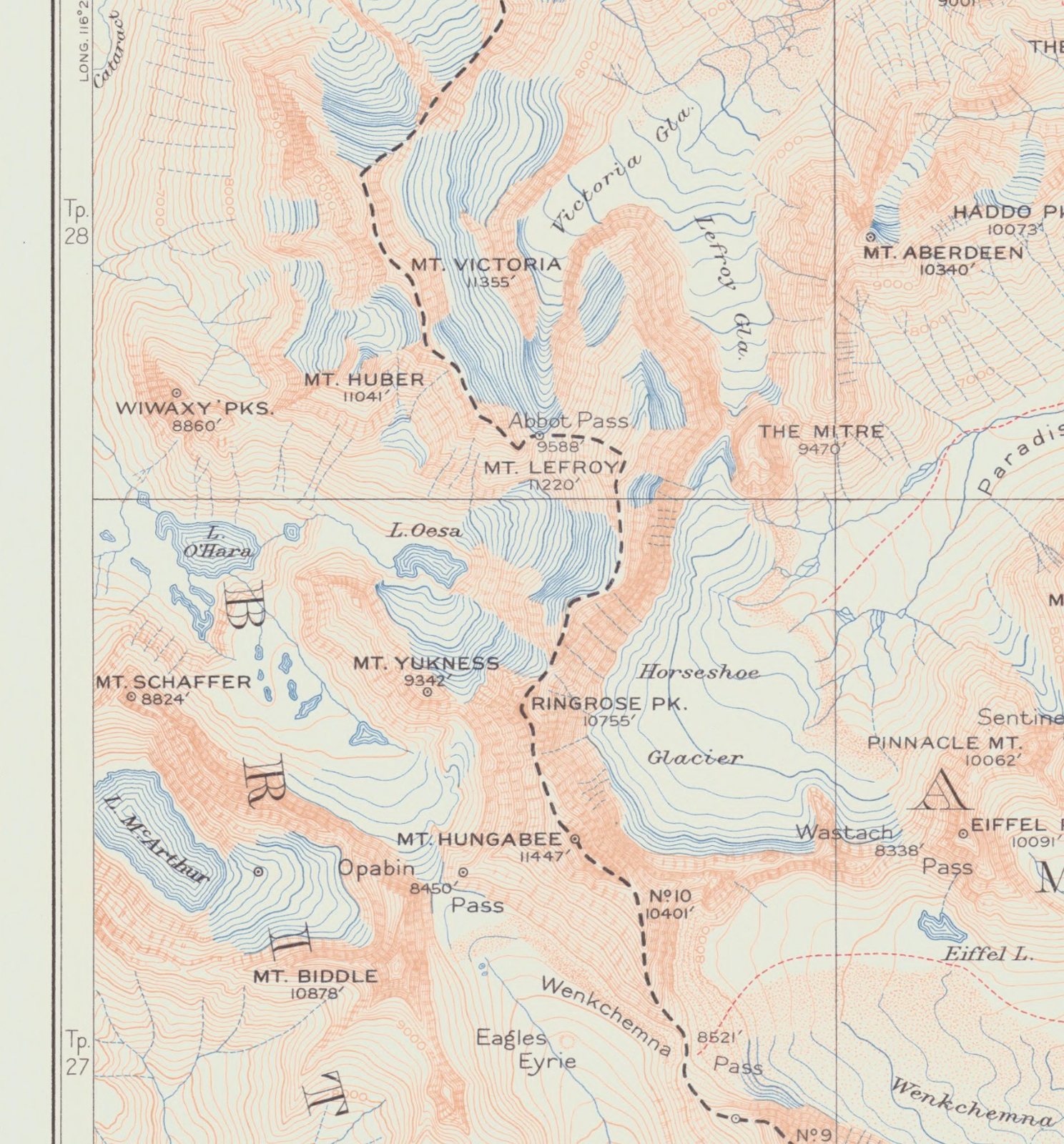
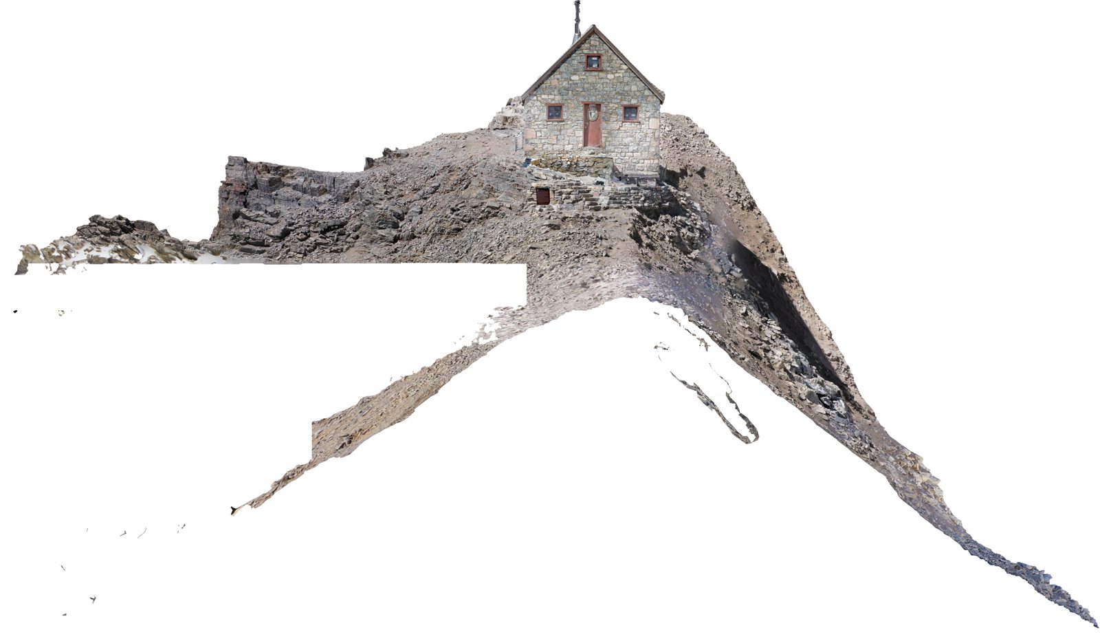
In 1922 the Canadian Pacific Railway built a stone hut on Abbot Pass, between Mount Victoria and Mount Lefroy, at the request of its Swiss guides Edward Feuz Jr. and Rudolph Aemmer. The hut opened in 1923. Climbers used it for almost a hundred years. It is a National Historic Site and a classified federal heritage building.


In 1894 Samuel Allen and Youel Carryer walked from Hector Station on the railway up to Lake O'Hara, and looked up at the col between Mount Victoria and Mount Lefroy. They called it Death Trap Col. After Philip Abbot died on Mount Lefroy in 1896, the pass took his name. The Alpine Club of Canada later made the crossing part of its "Five Passes" route between Lake Louise and Lake O'Hara.
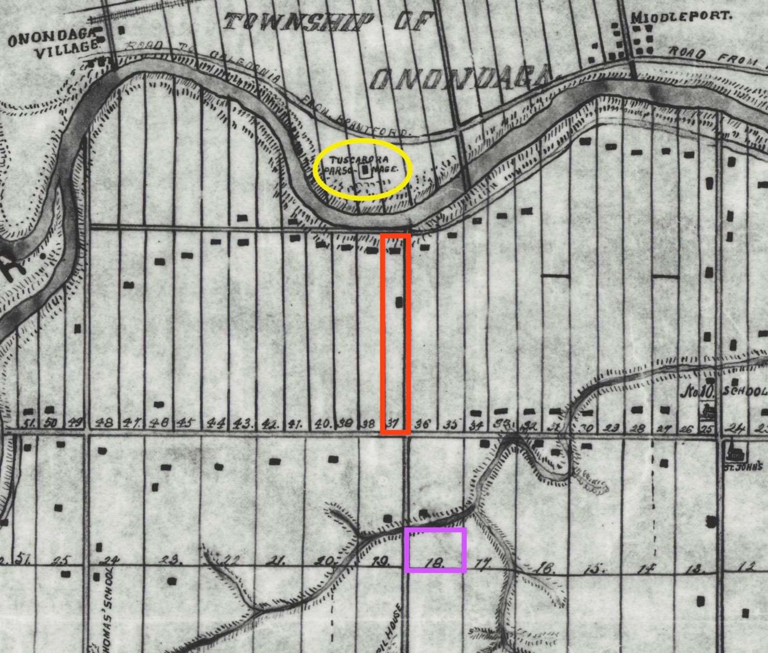
Allen was a young American climber who later wrote up the country for The Alpine Journal (1896–97). Carryer's story starts far from the mountains. Parks Canada's history essays give him a chapter of their own and trace his family to the Tuscarora community of the Six Nations Reserve in Ontario. When he died suddenly, the Brantford newspaper reported it, and so did papers further afield, because of the large sum of money found on him. The first recorded approach to Abbot Pass included a First Nations man from Six Nations, a generation before the Swiss guides built the hut.
From Parks Canada, Essays on the History of Abbot Pass (Hist7), pp. 35–58 and 71. full chapter to read


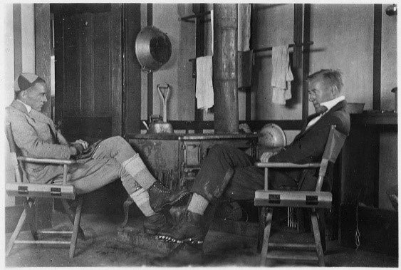
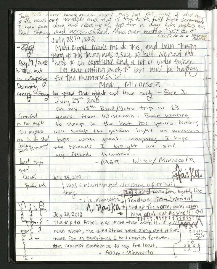
The hut was a place to dry clothes, wait out weather and sign the register before a climb. The last known register pages are from the summer of 2018.


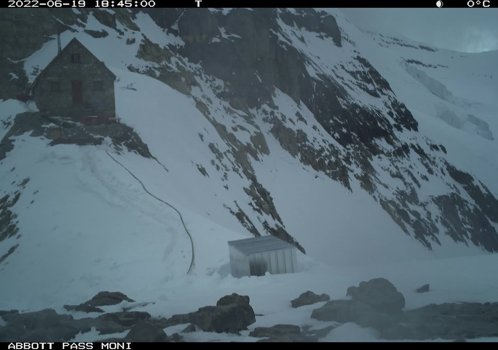
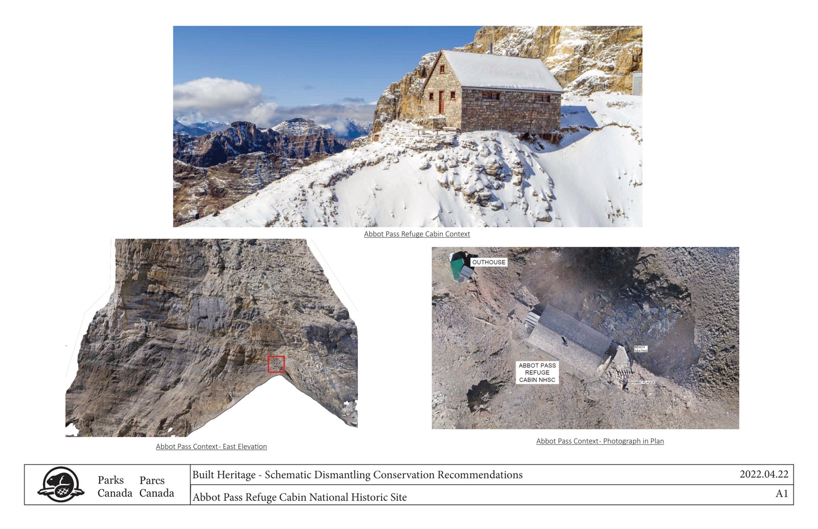
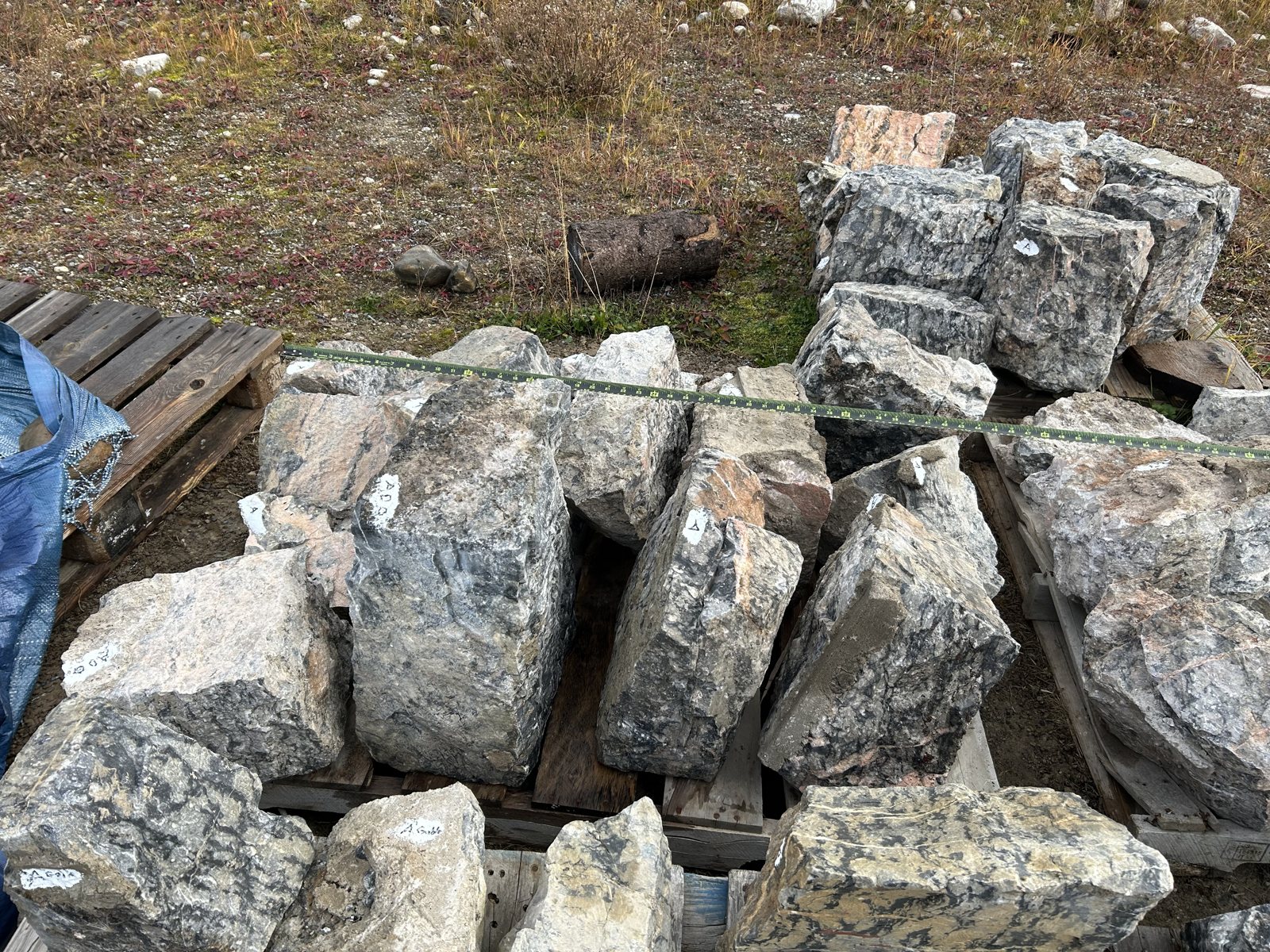
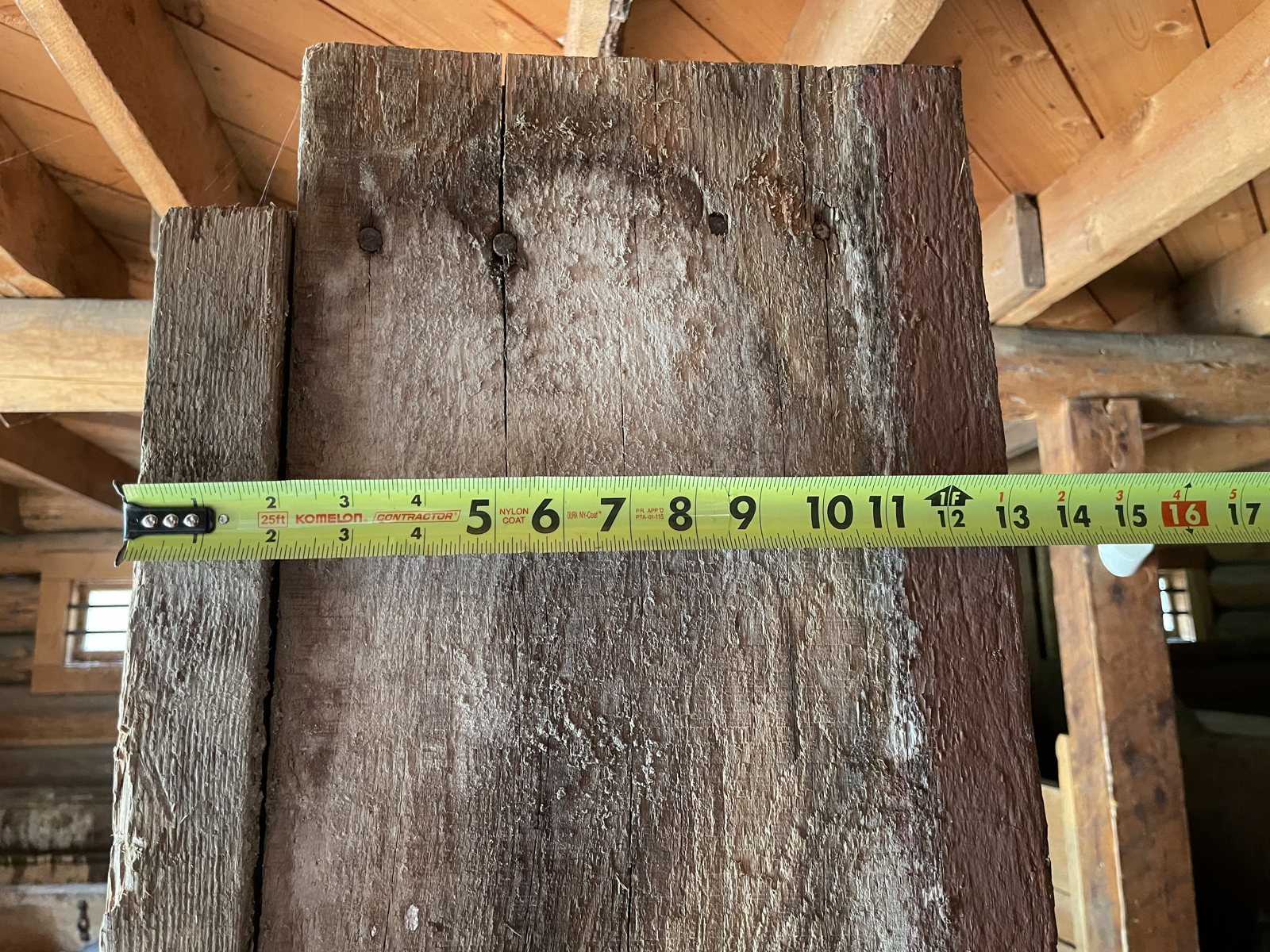
The ground under the hut was failing. In 2022 Parks Canada took the hut apart, marked each kept stone with its wall, and recorded the building with drawings, photographs, photogrammetry and LiDAR.


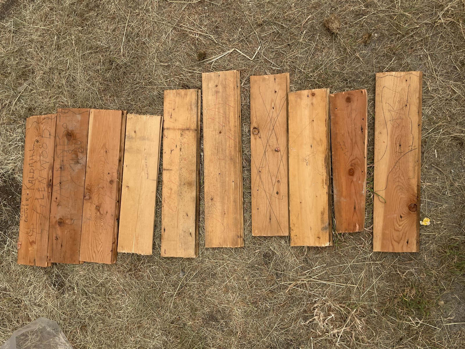
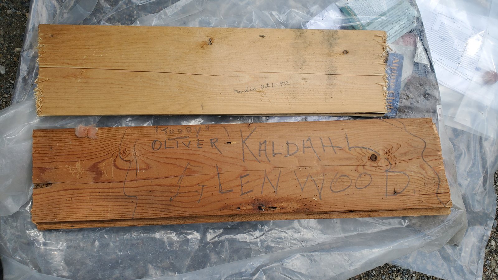
About 250 stones on 22 pallets (5–6 m³), sections of roof and floor, window frames and lintels, boards with a century of names cut into them, and 18 found items. See every pallet by wall in the file viewer.


Abbot Pass is 97 km from Fortress Mountain. But the people who built and used the hut also made the first ascents of the peaks you can see from Fortress.
Highest of the "Ship Mountains". The pair started from a fly camp on the south side, waited two hours in mist, and reached the summit at 12:45. Walter built a cairn from stones dug out from under frozen snow. An electrical hail storm drove them down after a quarter of an hour.
CAJ 1930 accountW. Feuz photo, CAJ p. 60The packer George Harrison and Walter cut a trail up the left fork of Ribbon Creek, beside today's Kananaskis Village. They camped at a waterfall in a gorge, climbed past a hidden lake with sheep tracks, and reached the top at 11:30 with Galatea in view.
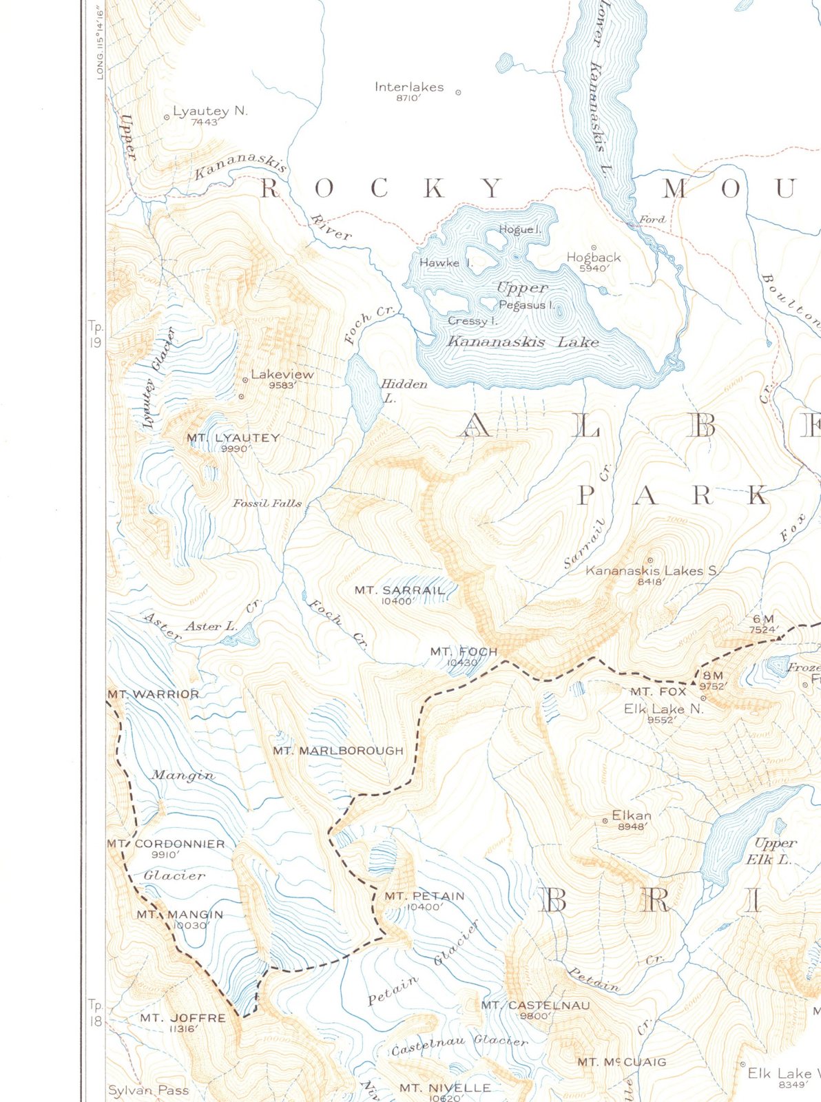
CAJ 1930 accountFrom a camp at Fossil Falls, the party made first ascents of Sarrail and Foch (same day), Cordonnier and Warrior, Lyautey, and Pétain. They also climbed Mount Joffre, which Edward Feuz Jr. and J.W.A. Hickson had climbed first. Eight first ascents in one season.
CAJ 1930 new-ascents listNamed in 1907 after Stuart Kidd of Morley. R.C. "Bob" Hind was a Calgary engineer, later ACC president and chair of its Hut Committee. His photograph of the inside of Abbot Pass Hut is in section 3.
WikipediaBob Hind fondsNamed in Calgary's bid as an alpine ski site for the 1988 Winter Olympics. The events later moved to Nakiska on Mount Allan.
WikipediaThe Fortress was called Tower Mountain until 1957. We have not yet found the first ascent of either peak.
research gapThe 1930 accounts come from Kate Gardiner, "A Pack Train Trip To The French Military Group", Canadian Alpine Journal XIX (1930), pp. 59–65, retold here in our own words. Read the original (ACC PDF). A local copy is in research/caj/.
Red line: the 1930 pack-train trip, Banff to Canmore, 17 June – 21 July. Blue dashed line: Abbot Pass to Fortress, 96.9 km. Camp positions come from Gardiner's text and are approximate.
The valley floor below Fortress was a road long before it was a resort. Emigrants, an expedition, a survey and a pack train all came this way, and each left a record of the ground the rebuilt hut will stand on.
Sinclair brought his second party of emigrants west by a southern route along this valley floor, which runs about 0.7 km east of the Fortress lease today. The exact path is worked out from the written record, not surveyed.
DCB "Sinclair, James"exact path to confirmPalliser left Old Bow Fort at noon on 18 August with four men and nine horses, among them Old Paul and a Nakoda hunter. He rode up the Kananaskis, past the ground the resort stands on, and reached the pass on 22 August. He named it "Kananaskis pass, after the name of an Indian, of whom there is a legend."
Spry, Palliser PapersPalliser read aneroid barometer No. 17871 at every camp. The column of readings survives, copied into James Hector's field notebook, ending "Height of Land above Old Ft. 1885 / above sea 5985" feet. The pass is really about 7,680 feet. The published Papers print only the final figure.
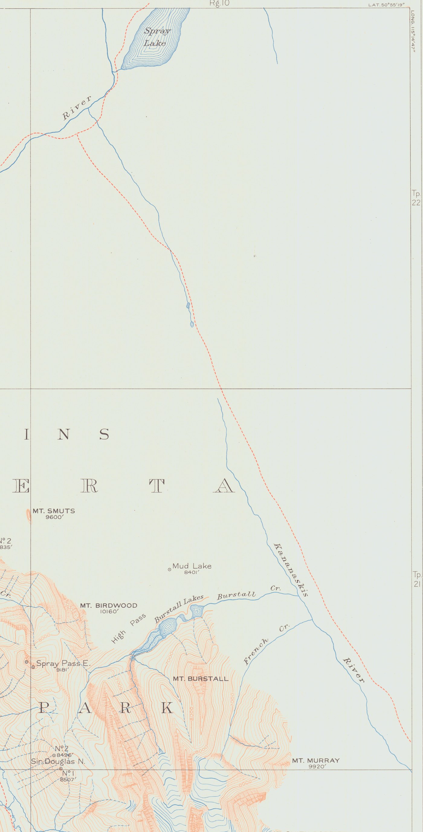
Hocken Collections, Otagopermission to reproduceThe survey drew the Kananaskis River with its trail beside it, Mud Lake and the Burstall Lakes. The sheet stops about 3 km short of Fortress Mountain: the surveyors were mapping the Divide.
atlas sheet 11Returning north from the French Military Group, the pack train rode the same valley floor past the lease, seventy-six years after Sinclair. Their base for the Galatea climb was the camp at Mud Lake.
CAJ 1930The air photos show the Fortress and Galatea bowls as bare terrain, a decade before anyone skied them. The Fortress itself was still called Tower Mountain until 1957.
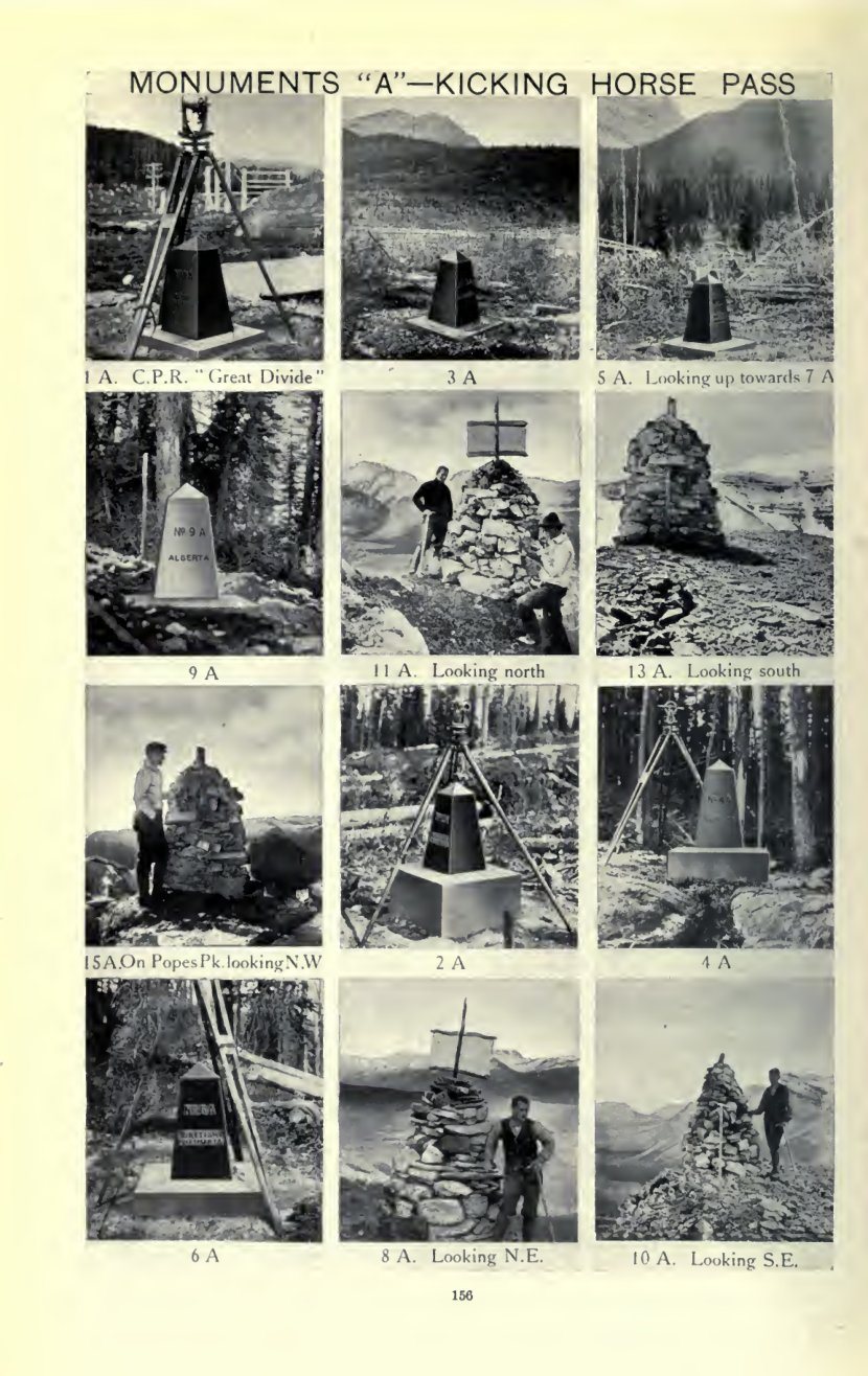
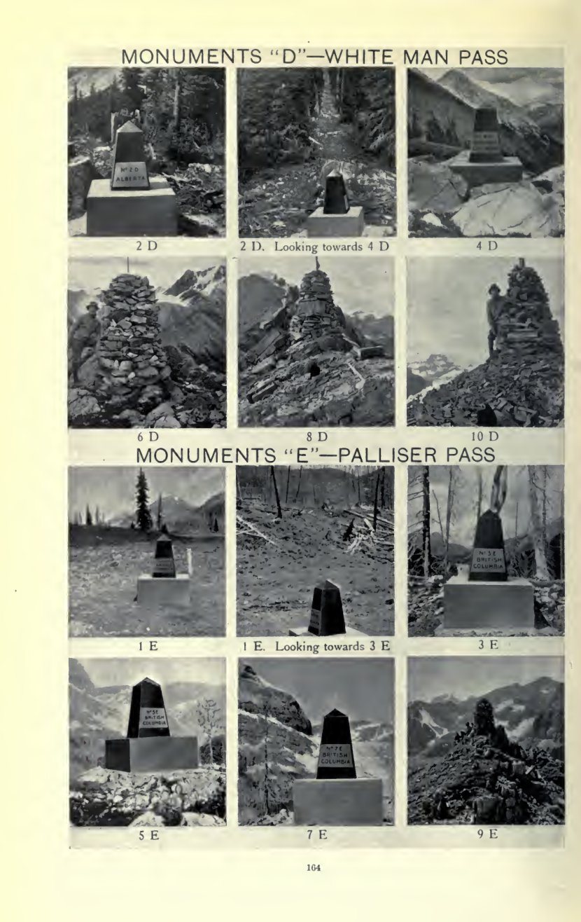
University of LethbridgeMurray Hay ski mapssummit registersFrom 1913 the Alberta–British Columbia Boundary Commission surveyed the Continental Divide by photo-topography, A.O. Wheeler for British Columbia and R.W. Cautley for Alberta. The atlas sheets, at 1:62,500, cover the Fortress valley, the 1930 climbing country and Abbot Pass.


Sources: atlas sheet 11 (surveyed 1916), University of Alberta Map Collection; atlas sheets AB-BC-sheet09 and AB-BC-sheet15, Internet Archive (1924 edition); Hector field notebook MS-0443-1/12, Hocken Collections, University of Otago; Spry, The Papers of the Palliser Expedition 1857–1860 (Champlain Society, 1968); 1949–51 air photo mosaic 82J/14, University of Lethbridge; Report of the Commission appointed to delimit the boundary between the provinces of Alberta and British Columbia, Part I (1917), Internet Archive item reportofcommissi01albeiala. Local copies are in research/boundary/.
| Person | Link to Abbot Pass Hut | Link to the Fortress peaks | Evidence |
|---|---|---|---|
| Edward Feuz Jr. CPR Swiss guide, 1884–1981 | Designed the hut with Rudolph Aemmer (1922) | First ascent of Mount Joffre with J.W.A. Hickson; brother of Walter | Hist7CAJ 1930 p. 64Edward Feuz fonds |
| Walter Feuz CPR Swiss guide | Photographed climbing at Abbot's Pass Hut, 1942. His 1968 interview covers the hut | Guide on the 1930 first ascents of Galatea, Bogart and the French Military Group | CAJ 1930Rummel photos1968 interview |
| Kate Gardiner 1885–1977, ACC member | Named in the subject terms of Walter Feuz's interview about the hut. A visit to the hut is not yet confirmed | Eight first ascents in Kananaskis in 1930, including Galatea and Bogart | CAJ 1930hut visit? |
| George Harrison Packer and rock climber | Named in the subject terms of Walter Feuz's interview about the hut | Packer for the 1930 trip; on the rope for the first ascent of Pétain | CAJ 19301968 interview |
| R.C. "Bob" Hind 1911–2000, ACC president | Photographed the inside of the hut, c. 1930s. Chaired the ACC Hut Committee | First ascents of Mount Kidd and Mount Sparrowhawk, 1947 | Hist7 p. 83Bob Hind fondsconfirm R.C. = Bob |
| Lawrence Grassi Canmore miner and guide, d. 1980 | Built or improved the Lake O'Hara trails, including the trail to Lake Oesa below the pass | Lived in Canmore; Grassi Lakes are named for him. Guided in the Bow Valley in 1930 | Avenue CalgaryCAJ 1930 p. 127 |
These ideas support the RFP rules: show at least one public-engagement heritage value and one from the national historic site or federal heritage building statement, and leave a lasting legacy (Legacy, 25% of the score).
Whyte Museum of the Canadian Rockies, Banff, first. Then the other sources below.
| Source | Reference | What it holds | Why we want it | Status |
|---|---|---|---|---|
| Walter Feuz interview, 1968 | Whyte S1/11 | Sound recording, with summary and reference cassette. Subjects include Abbot Pass Hut, Katie Gardiner and George Harrison | Walter's own account of the hut and the 1930 season. Possible audio for the hut | to request |
| "Abbot's Pass 1942" | Whyte V554/1262–1266 (Elizabeth Rummel fonds) | 5 photographs: views at the hut and climbing with Walter Feuz | Direct photo of Walter Feuz at the hut | to request |
| Edward Feuz fonds | Whyte M93/V200 | About 1,820 photographs of his climbs, his and his father's Führerbuch, Chateau Lake Louise climb records 1913–1930 | Photos of hut construction or early use; Joffre | to request |
| Bob Hind fonds | Whyte M7/V46 | About 5,800 photographs, 15 films, ACC camps 1931–1992 | More hut photos; possible photos of the 1947 Kidd and Sparrowhawk climbs | to request |
| Ernest Feuz fonds | Whyte M131/V71 | Two albums (about 460 prints), Führerbuch, notebook 1913–1924 | Third Feuz brother; O'Hara and Lake Louise climbs | to explore |
| Feuz Brothers notes, 1974 | Whyte M36/I/A/1/a/iv/26 | Catharine Whyte's notes of a conversation with the brothers | Family memory of the hut | to explore |
| Old Swiss Guides photographs | Whyte V190/VI/O/v (Bruno Engler fonds) | 19 portraits of the Swiss guides | Portraits for the people wall | to explore |
| Annotated boundary atlas | Whyte M376/89 (Bert Riggall fonds) | 1917 Alberta–BC boundary atlas with notes, 1915–1944 | Maps of the 1930 country | to explore |
| A.O. Wheeler boundary survey albums, 1916 | Whyte V771/PD-5 (Arthur Oliver Wheeler fonds), Albums 1–3, photos 1–554 | Survey photographs with station lists, bearings and coordinates; fold-out map | Photos of the Kananaskis and Banff section of the Divide, 14 years before the 1930 climbs | to request |
| Mountain Legacy Project: Interprovincial Boundary Survey, A.O. Wheeler | FRDR, DOI 10.20383/101.092 (CC BY-NC 4.0) | Catalogue of the boundary survey photographs, 1913–1924, with links to Library and Archives Canada copies | Repeat-photo pairs (then and now) for the hut's view panels | to explore |
| Canadian Alpine Journal digitization project | Whyte catalogue 13485 | Digitized CAJ volumes | Other first-ascent accounts (1947 Kidd and Sparrowhawk) | to explore |
| Parks Canada memory stick | RFP Appendix D | LiDAR, photogrammetry, drone video, oral histories OH1–OH4 | 3D model; crew voices | arriving this week |
| Alberta–BC Boundary Commission atlas and report | Internet Archive (AB-BC-sheetNN; reportofcommissi01albeiala) | 1924 atlas sheets 8–16 and index sheets; 1917 report Part I with photo plates | Base maps for the 1930 route and Abbot Pass | downloaded |
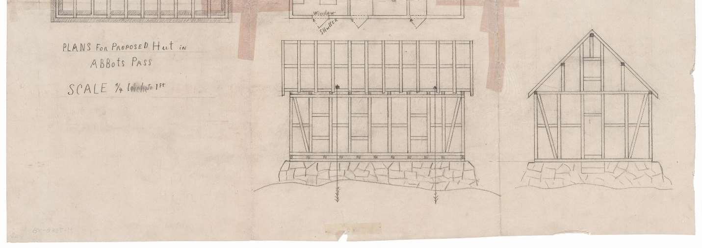
| CPR Hotel Department fonds | M-7588-48 (cited in Hist7) | Plans for the proposed hut | Original plan sheet | confirm archive |
| D.L. Stephen, Edward Feuz Jr.: A Story of Enchantment | Rocky Mountain Books, 2021 | Biography | Feuz family detail | to read |
Parks Canada RFP package, 247 files (raw/) · Parks Canada, Essays on the History of Abbot Pass (Hist7) · Heritage Recording Report 2021–22 (HRe6) · Canadian Alpine Journal 1930 and 1931 (research/caj/) · Boundary Commission atlas sheets and 1917 report (research/boundary/) · Proponent Questions and Responses, 15 Oct 2026.